

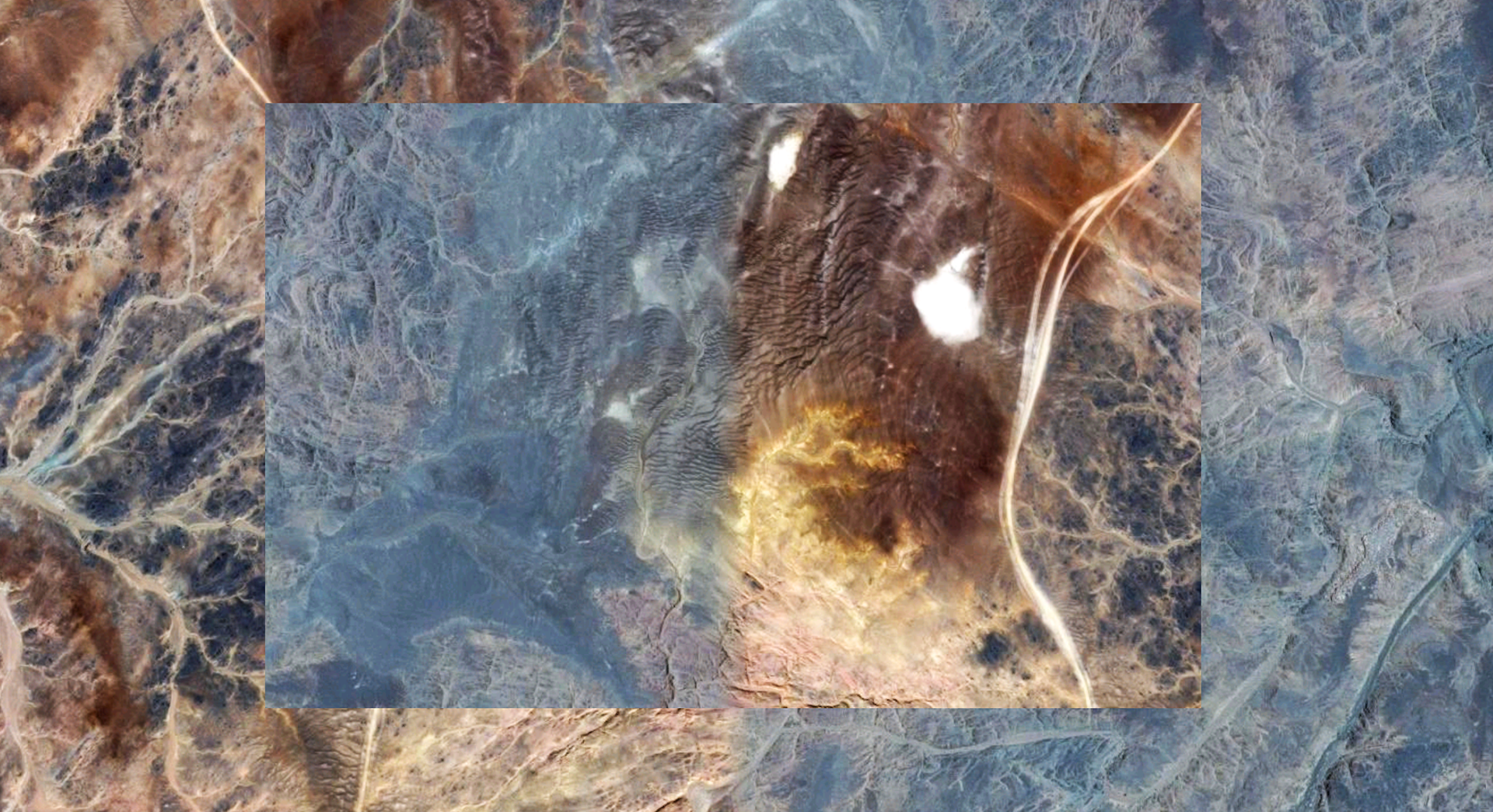
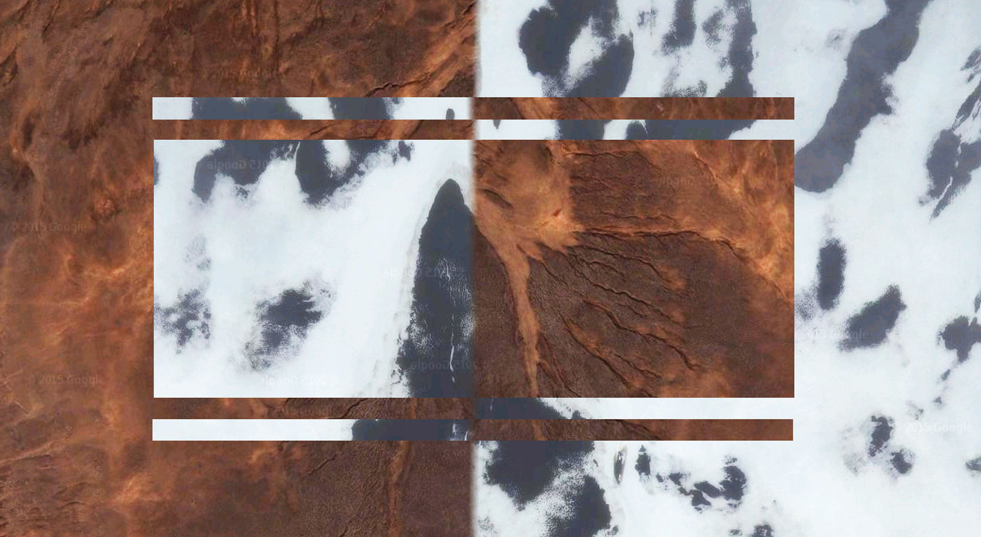
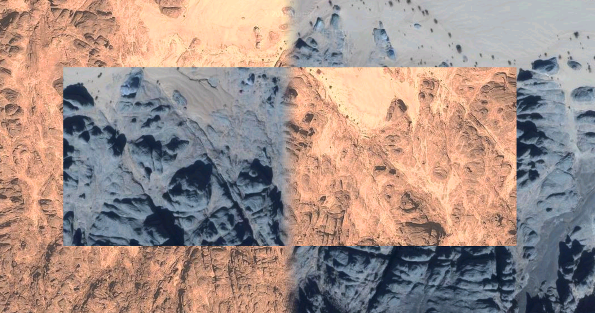
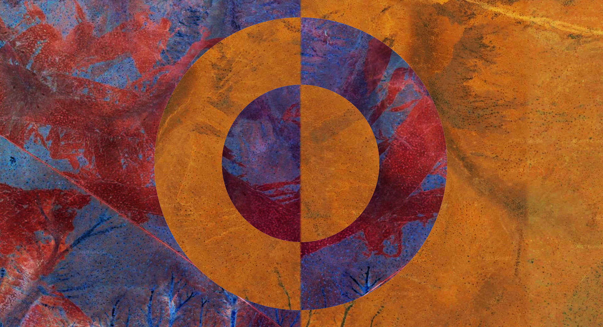
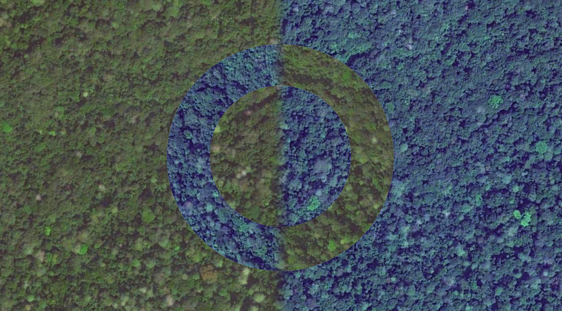
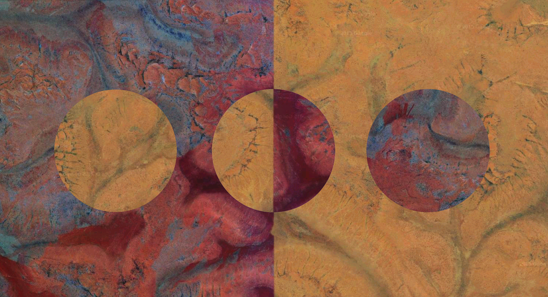
Digital collage
Google Maps is used nowadays as a visual database of the world, though the images displayed are not always accurate in detail. I encountered coordinates on Google Maps where two different images are found right beside each other: one of the daytime, and one of nighttime. This creates a border that doesn't exist in reality: a digital time border separating day from night, creating beautiful color contrasts. I experimented with geometric patterns, playing with the day/night sections within each other.