
ART // GEOGRAPHY
Digital collage
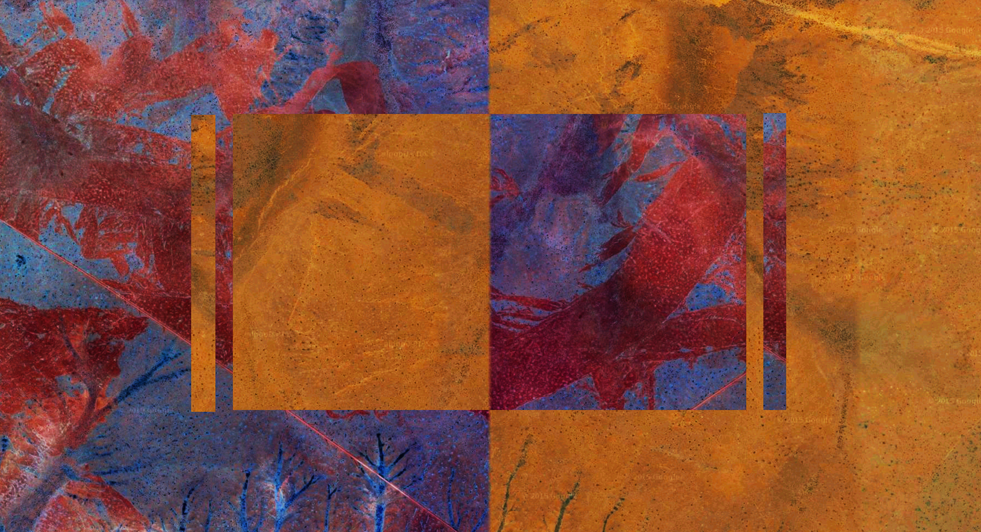
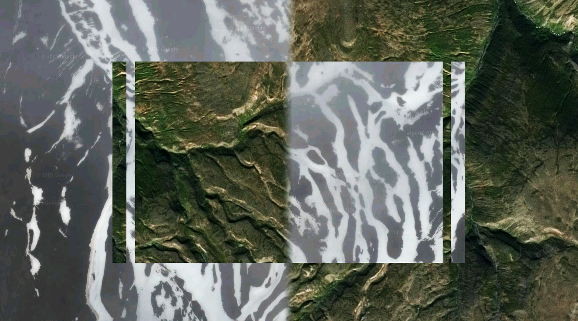
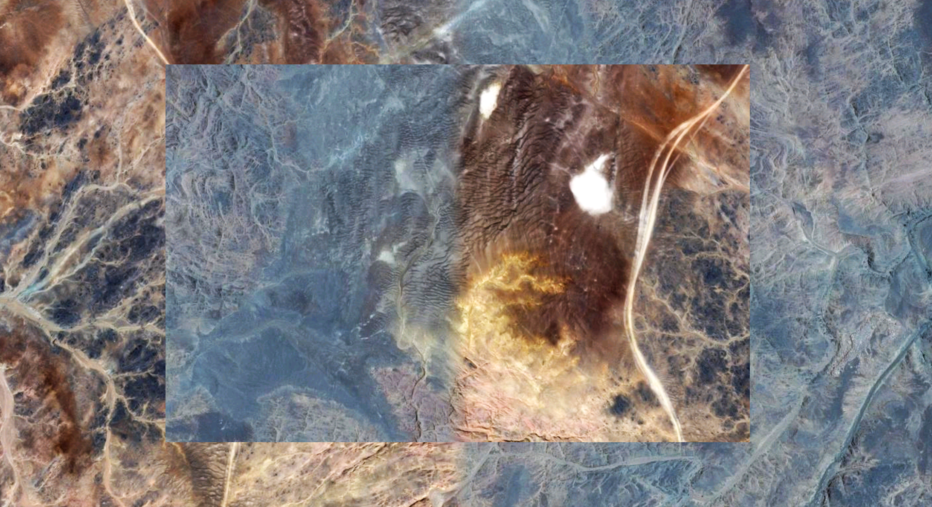
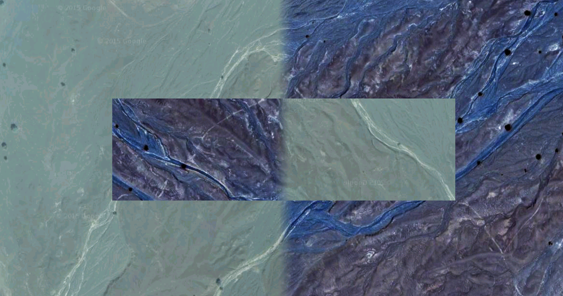
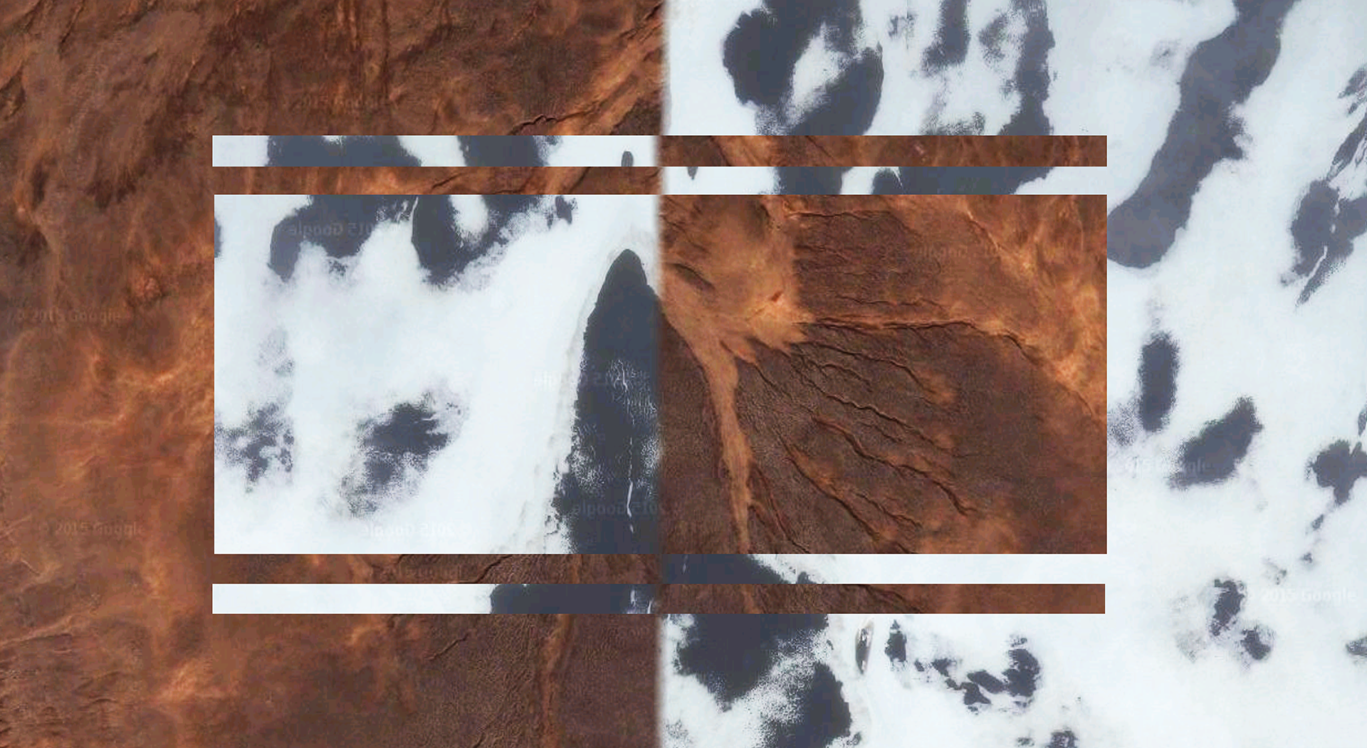
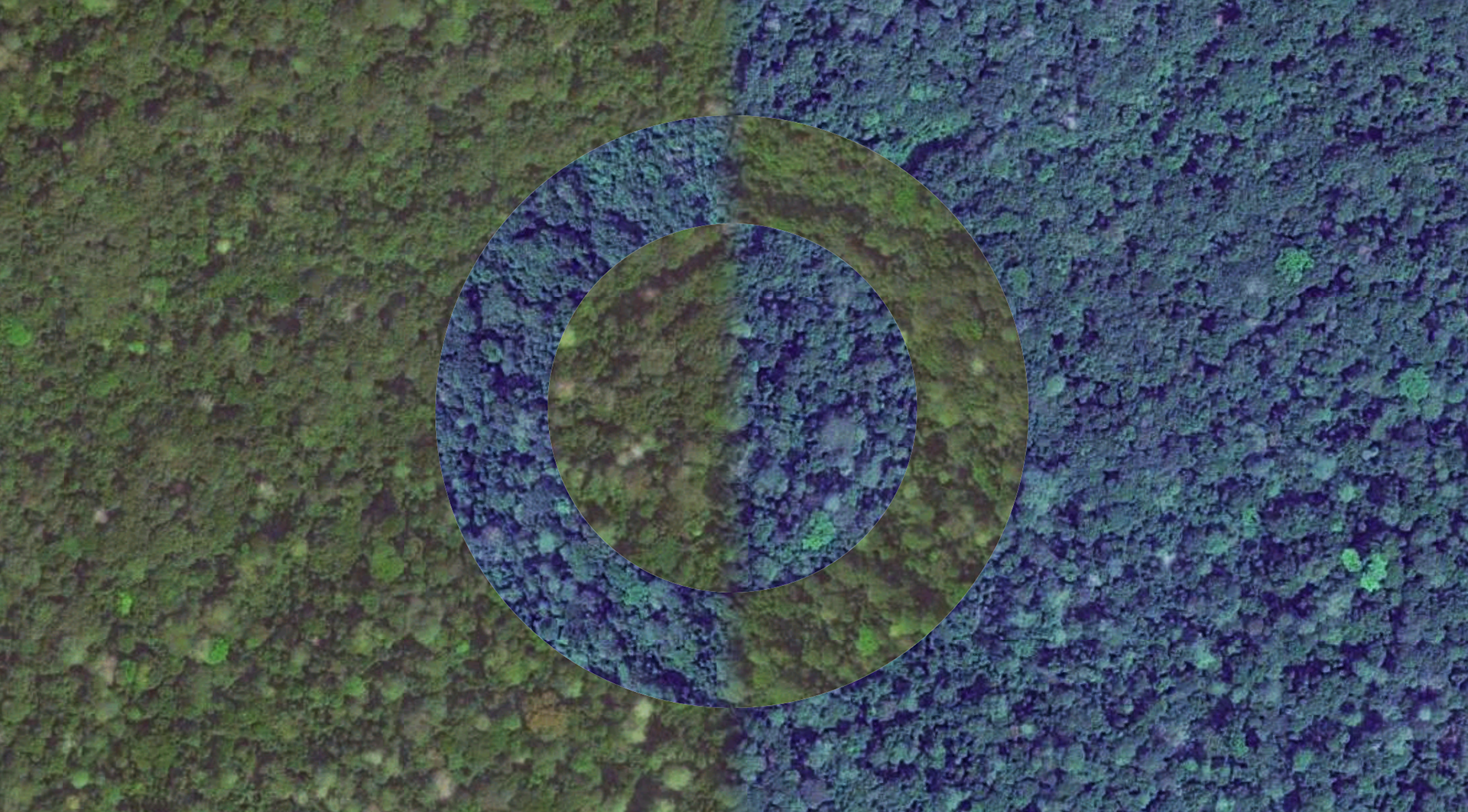
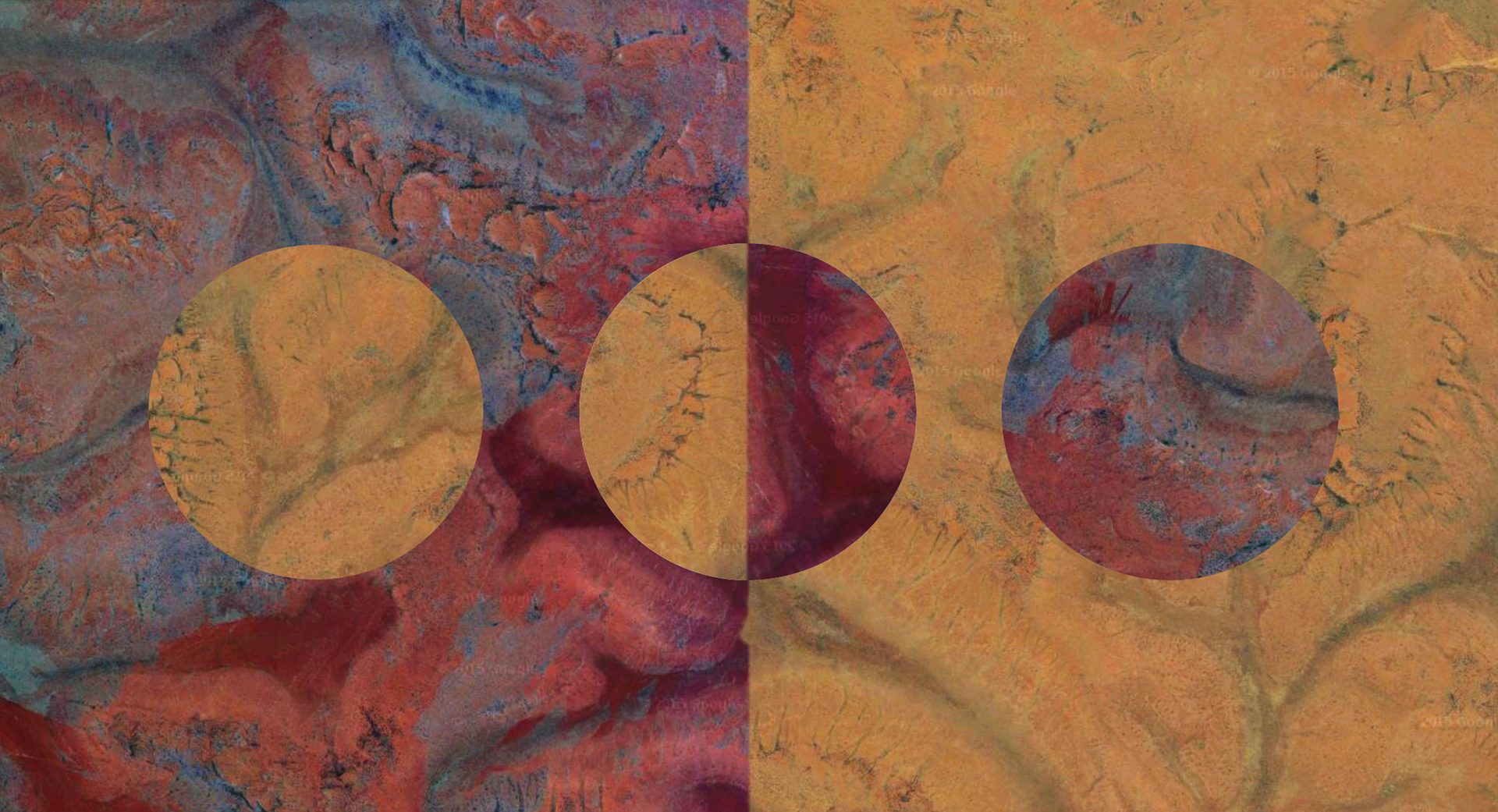
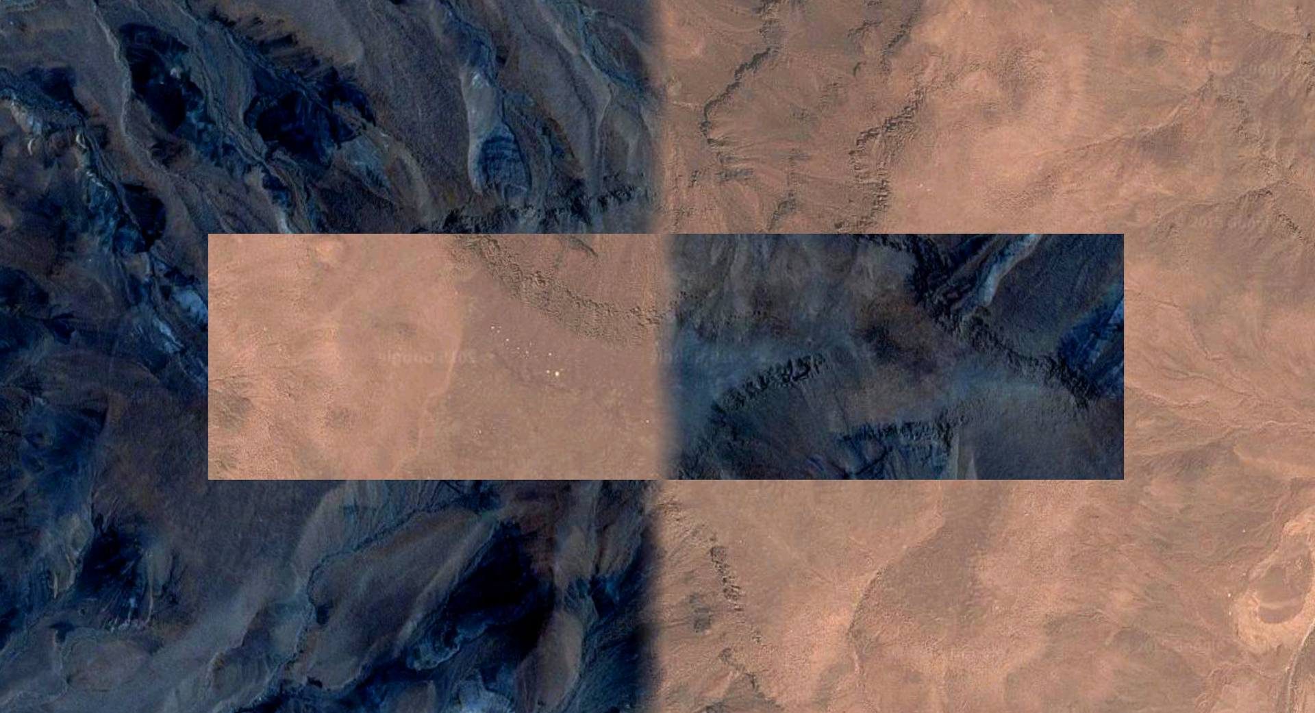
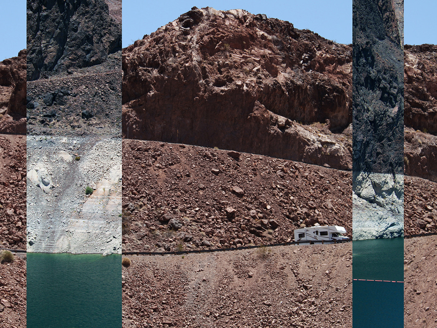
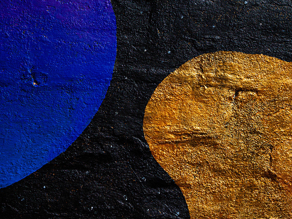
Google Maps is used nowadays as a visual database of the world. Though the images displayed are not always fully accurate in detail. I searched for coordinates on Google Maps where two different satellite images are stitched right beside each other: one taken in daytime, and one taken at night. This creates a border that doesn't exist in reality: a digital time line separating day from night.
Sometimes the color contrast is so big from day to night that it's hard to believe both photos are taken in the same location. I mixed the colorful landscapes into geometric shapes and patterns, crossing the day into the night and creating entirely new compositions from the same place.
The series calls into question our notions of geography, borders, belonging, imaginary and physical barriers. What imaginary borders do we place on the Earth? How are they monitored or policed? What is their purpose? Who does the land "belong" to? In remote desert landscapes or snowy mountain peaks, do these borders really matter? With the passing of time, borders constantly shift ownership from one country or entity to another, via political disputes, wars, international trade agreements. Does any of this possession really matter in the end?
As we are all humans inhabiting this earth, and none of us have control over where we are born, I believe we all have the right to explore the planet, learn about cultures different from ours, and find homes where we feel at peace (not through violent means or at the expense of others'). Refusing people to migrate through borders are violent political expressions of authority. In the end, the soil doesn't really belong to anybody, and we are simply temporary visitors on this Earth.
This series was published in Preacher's The Good Word Magazine, 2025 Amsterdam edition, and exhibited at the launch at Oedipus Brewery.